Our Projects
A1331 Link Road (Phase 1)
Client: Octavius Infrastructure
Project Value: £27million
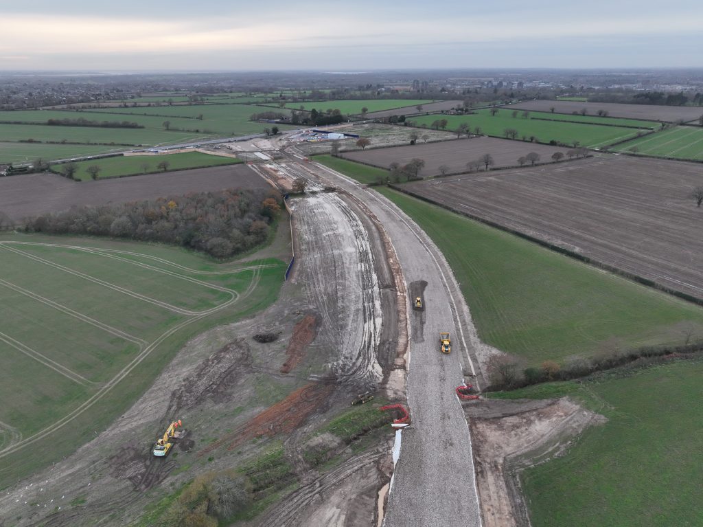
Octavius were successful in their bid to construct Phase One of the new A1331 Link Road which will link the A133 and A120 outside Colchester and forms the first part of a new housing development and rapid transit system.
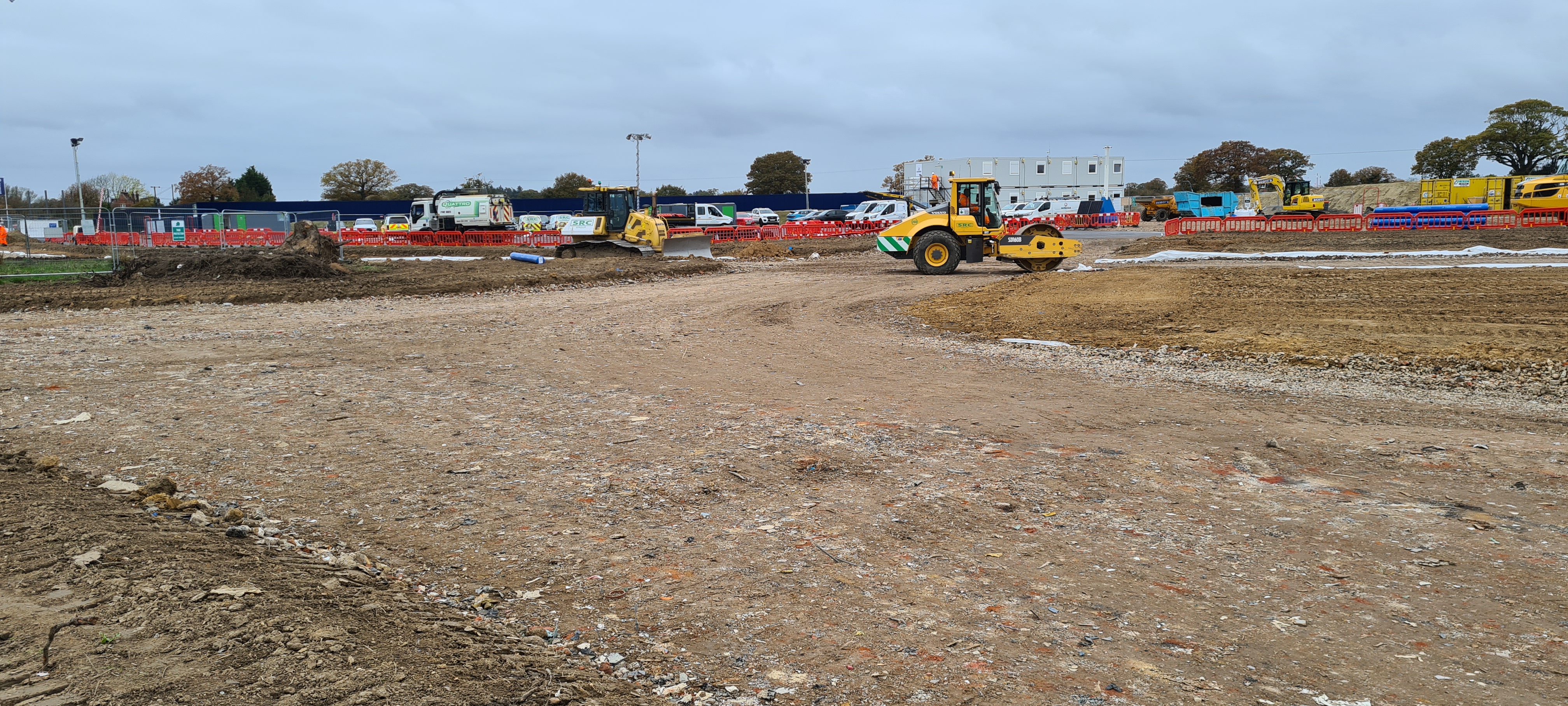
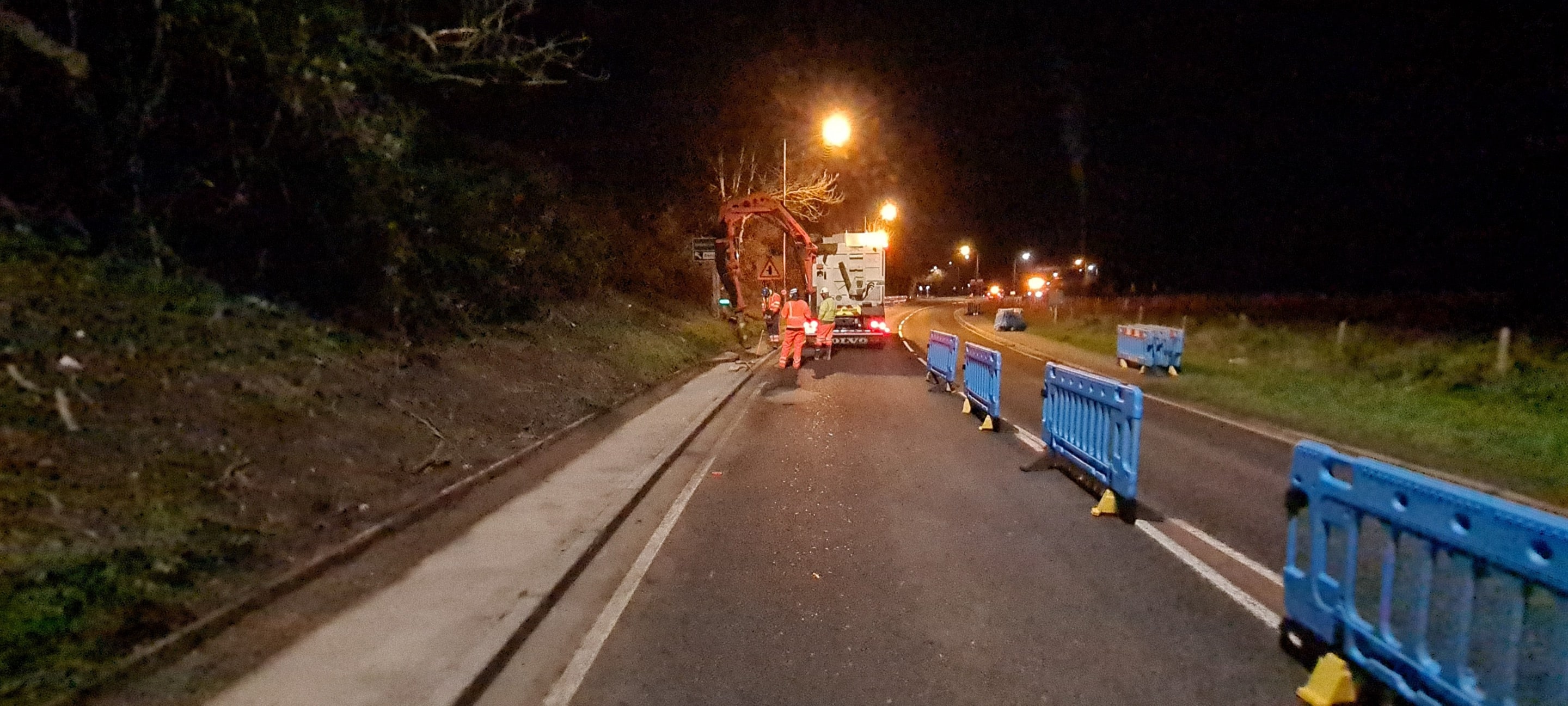
The main works during the early stages of the project is site preparation, topsoil stripping, and bulk material imports to prepare the haul routes and eventually the base of the carriageway.
During later stages of the project the focus will shift to detail and accuracy of kerb lines, drainage, and finally the finish of the work.
Faced with a large scheme with significant ground works and a requirement for exacting commercial and engineering detail, Octavius asked us to join the project to give them key oversight.
How we are helping
Engineering Control
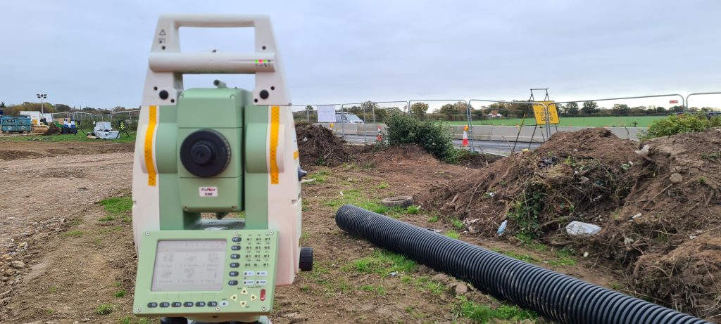
As with any project being built on soft agricultural land we are cautious of ground heave through freeze-thaw action and heavy plant and equipment operating near to the control points.
Mindful of this we established engineering control throughout the 1.8km site using 34No. 600mm x 400mm concrete plinths to reduce movement in the control points in the site boundary and 5No. survey pins on the carriageway of the A133.
The degree of accuracy is maintained by regular maintenance visits to identify and rectify any differential caused by natural ground movement or disturbance from nearby works.
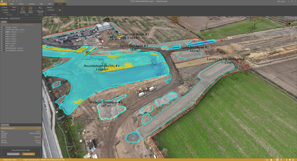
UAS Photogrammetry and LiDAR
To provide an accurate commercial overview we are using our Matrice 350 RTK drone with P1 and L2 payloads equipped to provide a full suite of photogrammetry and LiDAR modelling data. The data allows us to build a 3D model of the site and perform detailed calculations of each stockpile and with regular revisits we are able to track the amount of material being imported to site, where it is being used, and the cubic volume of material being disposed of – the detail is such that we can determine the make up of each stockpile from the model which further allows the commercial team to see where materials are being stored.
The advantage of aerial photogrammetry is we can build a model of each flight and export the image of the entire site to the client’s CAD systems providing BIM functionality and providing Octavius’ project management team with clear progress updates and identify potential risk or snagging items well in advance, and we can do this throughout the life of the project.
You can rely on us to improve safety, raise standards, drive delivery, and manage your site effectively
Contact our team to understand how we can meet your exact requirements, discuss our various services and how we can manage your your site effectively.