VM Surveys
“For how could Men set down to plant, without some distinction and bounds of their land?”
- John Love, Geodæisa: Or, the Art of Surveying and Measuring of Land, Made Easie (1688)
Land
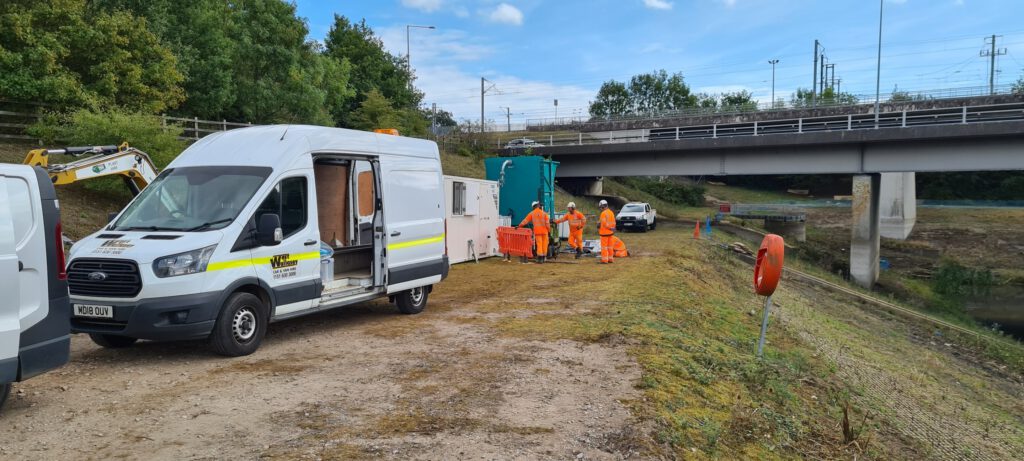
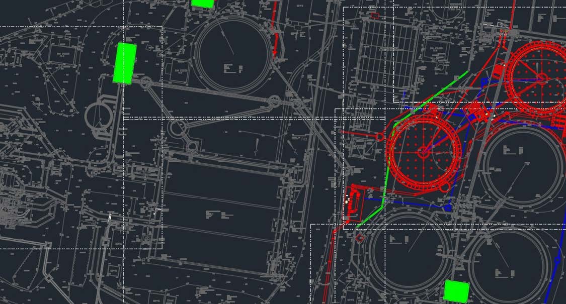
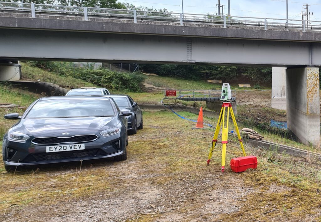
Using the long-trusted method of total stations, smartpoles, tripods, and legs, we undertake internal and external surveys. Whether it is a topographic survey of a confined city street in preparation for revitalisation, setting out site control, boundary surveys to ascertain ownership, or a GeoSLAM LiDAR survey of the interior of a house; we provide accurate surveys allowing your designer to create efficient and precise designs.
Continued monitoring during the construction stage will keep your project on track with accurate and detailed information that improves forward planning and reduces snagging. At the end of the project, we can provide you with a comprehensive portfolio of as-built information to provide to the client and secure timely payments for works done.
Sea
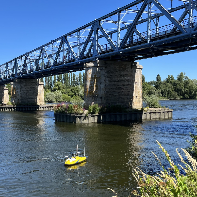
Our bathymetry drone is ideal for surveying rivers, marinas, lakes, and larger culverts. Utilising a multibeam sonar that can provide detailed topographic maps of underwater terrain it allows you to plan dredging or clearance work. The sonar can also identify underwater hazards and give a detailed view of the hazard’s location and its profile to aid with navigation.
The additional LiDAR payload extends the drone’s capability to mapping the surrounding embankments for detailing vegetation growth and developing site clearance regimes. When paired with the onboard camera, the LiDAR can be used to survey overhead structures, and larger water pipes and culverts which may otherwise be ignored due to the difficulty in getting decent survey data.
Air
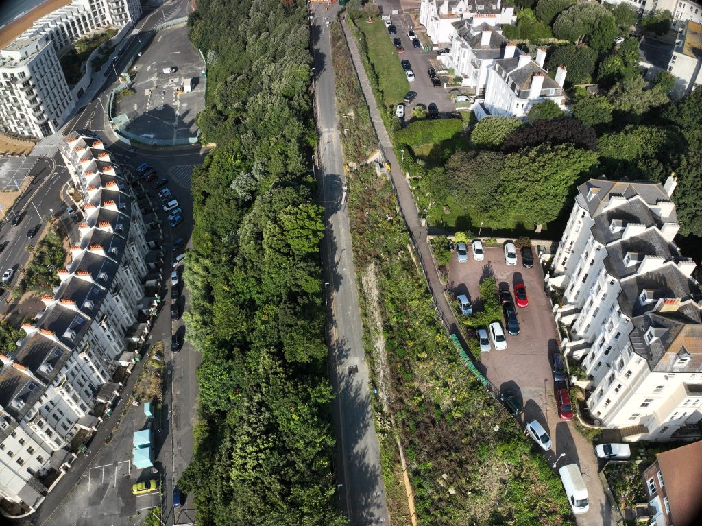
Using drones has an overall improvement on safety as it eliminates working from height, on uneven terrain, or in remote and difficult to access areas where help may take time or be unable to immediately identify your position. With the data being sent back to our servers in real-time, we keep the data even if we lose the drone.
Our Matrice 350 RTK multi-rotor drones use the following payloads:
- LiDAR – The Zenmuse L2 LiDAR array is excellent at penetrating dense vegetation, providing highly accurate topographical information and detailed profiles of the landscape. The onboard RGB sensor provides excellent photographic coverage of the site allowing detailed point cloud data to be extrapolated from the finished survey model; it is so accurate we can use it to identify overhead power lines, calculate volumetric data for bulk materials storage or excavations dug so you can provide more accurate and timely commercial applications for works done.
- UHD Camera – The Zenmuse P1 45MP camera payload allows us to undertake detailed photogrammetry surveys for building maintenance portfolios, pre-condition surveys, and as-built surveys. The finished data model is a fully manipulatable, digital model of the structure which allows you to explore the asset in fine detail to plan works or monitor progress of exiting repairs or demolition.
In addition to the Matrice 350 RTK, we have the following drones available for specialised activities:
- Mavic 3 Thermal – Ideal for monitoring built assets for hot or cold spots as part of condition surveys, for planning insulation repairs, or to ensure compliance with an EPC sign off. We also use it to monitor gas and oil pipeline expansion joints, and the areas around hot works on larger construction sites with multiple points of work as part of the “30-minute check”. On occasion it has been used to track down the odd farm animal.
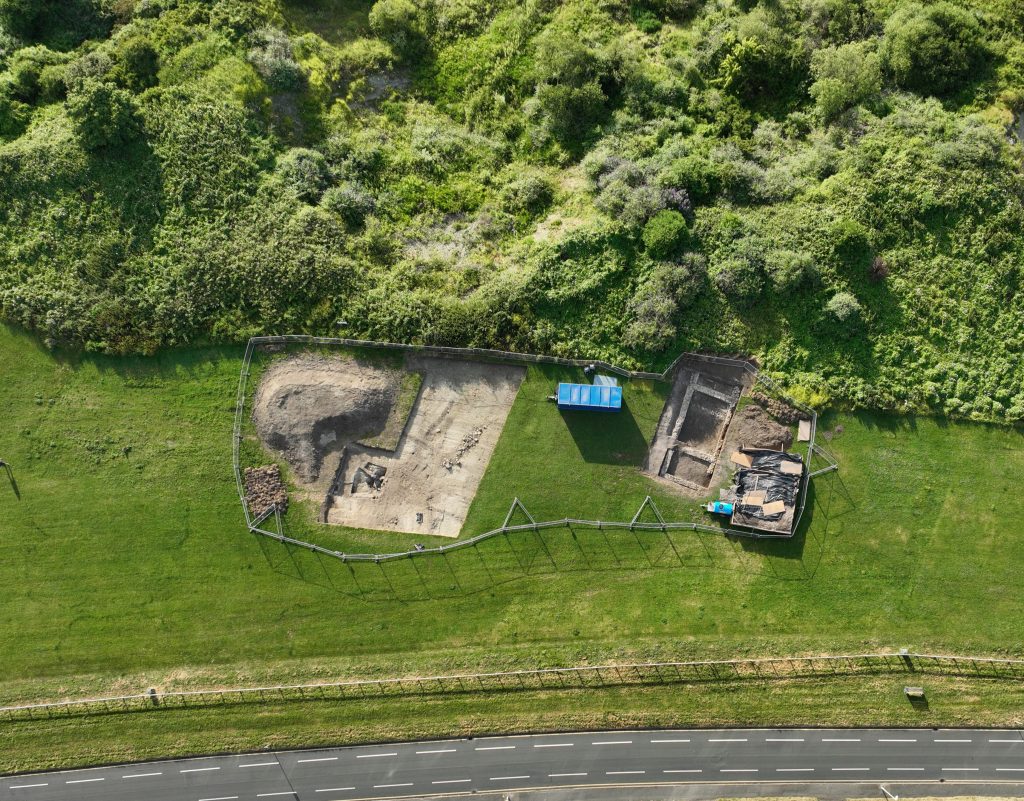
- Mavic 3 Multispectral – Primarily used for agricultural or vegetation surveys to determine soil quality and yield prior to planting, spraying, and harvesting operations. In an open field, a secondary use is identifying the presence of underground objects such as statutory and private utilities, or in some more interesting cases, old Roman walls.
Strategic Thinking.
Our project managers have years of experience managing major schemes and frameworks using NEC4 form contracts. We work with you and the designers to identify project risks, devise mitigations and efficiencies at the pre-construction stages – well before a “soft consideration” becomes a “hard fact”.
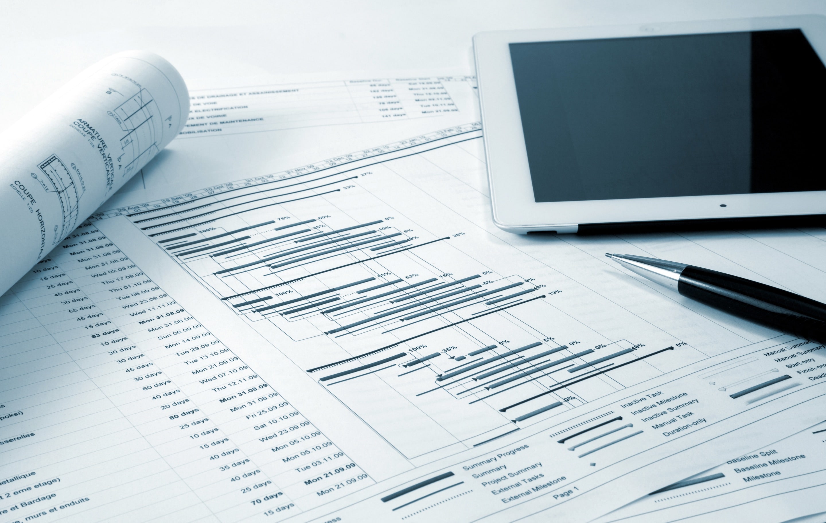
By the time work starts, the project had already begun…
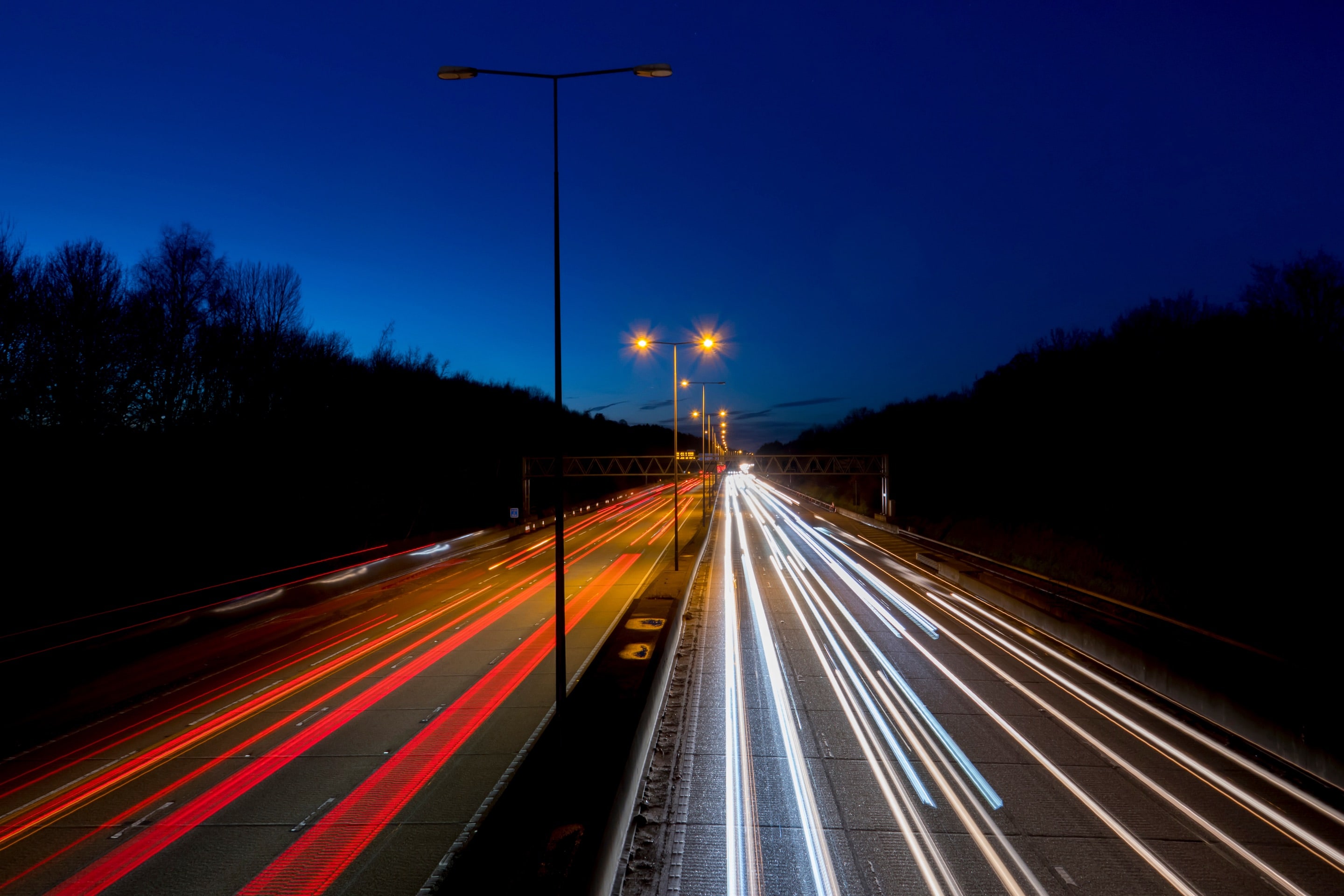
You’ve got the job. Let’s get it done.
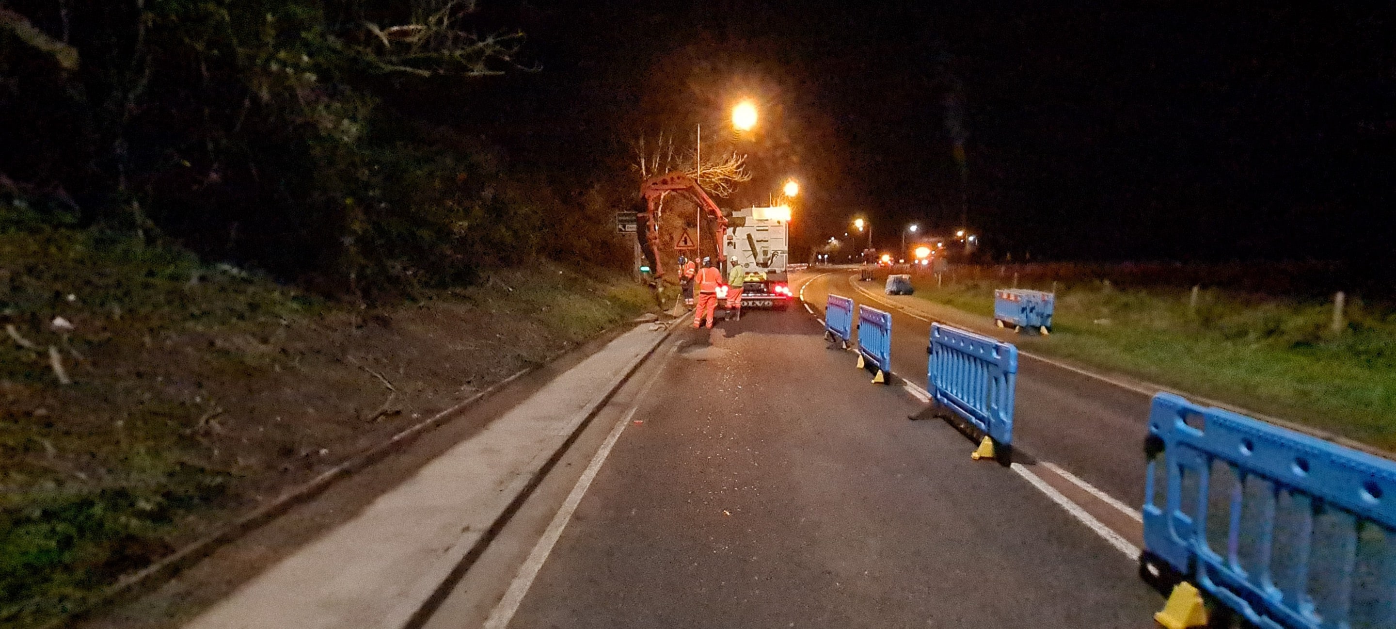
You can rely on us to improve safety, raise standards, drive delivery, and manage your site effectively
Contact our team to understand how we can meet your exact requirements, discuss our various services and how we can manage your your site effectively.
